TL;DR: Drive the Pacific Coast Highway from San Francisco to Los Angeles in 7 days (about 450–500 miles), stopping at highlights like Monterey, Carmel, Big Sur, Santa Barbara, and Malibu. Take your time and enjoy the coastal views, small towns, and scenic stops along the way.
Pacific Coast Highway Road Trip: San Francisco to Los Angeles in 7 Days
Planning the ultimate Pacific Coast Highway itinerary? This iconic California road trip along Highway 1 takes you from San Francisco to Los Angeles, winding through rugged cliffs, beach towns, and some of the most scenic coastal views in the world.
This 7-day itinerary is designed to help you experience the best stops of the PCH without rushing. You will have time to explore, stop often, and enjoy the journey just as much as the destination.
- For Road Trip Lovers: Why the Pacific Coast Highway Should Be on Your Bucket List
- Day 1: San Francisco to Santa Cruz
- Day 2: Santa Cruz to Monterey
- Scenic Route Option: 17-Mile Drive via Carmel
- Day 3: Monterey to Big Sur
- Day 4: Big Sur to San Simeon
- Day 5: San Simeon to Santa Barbara
- Day 6: Santa Barbara to Malibu
- Day 7: Malibu to Los Angeles
- Pacific Coast Highway Planning Tips
- Frequently Asked Questions About a PCH Road Trip
For Road Trip Lovers: Why the Pacific Coast Highway Should Be on Your Bucket List
If you love road trips, the Pacific Coast Highway is one of those experiences you will never forget. It combines freedom, constantly changing scenery, and the ability to stop whenever something catches your eye. From redwood forests to ocean cliffs to relaxed beach towns, this drive offers something new around every bend.
Day 1: San Francisco to Santa Cruz
Distance: ~75 miles
Drive time: ~2–3 hours
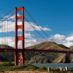
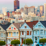
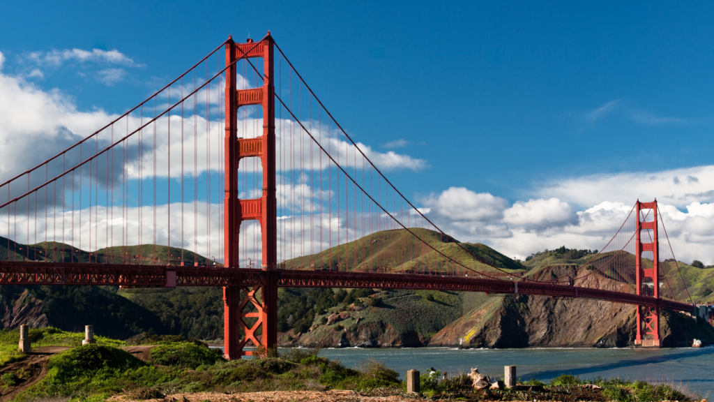
Start your journey in San Francisco, one of the most vibrant cities in California. If you have time in the morning, take a walk across the Golden Gate Bridge or grab coffee near the waterfront before heading south.
Once you leave the city, the scenery quickly shifts to coastal views. Your first stop is Half Moon Bay, a peaceful seaside town known for its wide beaches and scenic bluffs. Take a short walk along the coast or simply enjoy the ocean views.
A few minutes further is Mavericks, one of the most famous surf spots in the world. Even when the waves are calm, the coastline here is impressive.
Continue south toward Santa Cruz, following Highway 1 along the cliffs. There are several pull-offs where you can stop and take photos or stretch your legs.
Arrive in Santa Cruz in the early afternoon and spend the rest of the day exploring.
Things to Do in Santa Cruz
- Walk along the Santa Cruz Beach Boardwalk
- Explore downtown shops and cafes
- Visit Natural Bridges State Beach for rock formations and wildlife
Optional Stops and Detours
- Año Nuevo State Park for seasonal wildlife viewing
- Coastal trails between Half Moon Bay and Santa Cruz
Day 2: Santa Cruz to Monterey
Distance: ~45 miles
Drive time: ~1–1.5 hours
Take a slower start today. This is a short drive, so you can enjoy the morning in Santa Cruz before heading out.
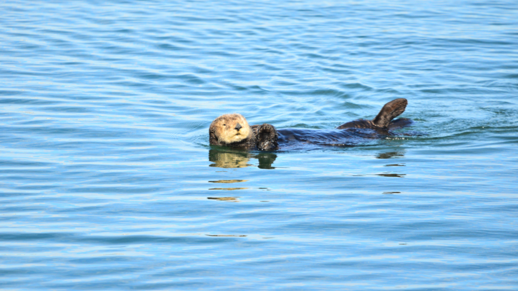
As you travel south, stop in Moss Landing, a small harbor known for its wildlife. This is one of the best places to see sea otters in their natural habitat. If you have time, consider kayaking or a wildlife tour.
Continue to Monterey, arriving around midday.
Monterey is a historic coastal town with great beaches and scenic coastal access. Spend your afternoon exploring at a relaxed pace.
Things to Do in Monterey
- Walk along Cannery Row
- Visit the Monterey Bay Aquarium
- Stroll the coastal path along the bay
Scenic Route Option: 17-Mile Drive via Carmel
Instead of heading straight south, you can take a more scenic route out of Monterey by driving through Pacific Grove and along part of the 17-Mile Drive toward Carmel.
This route takes you past quiet coastal stretches, cypress trees, and rocky shorelines. It is less about checking off stops and more about enjoying the drive itself.
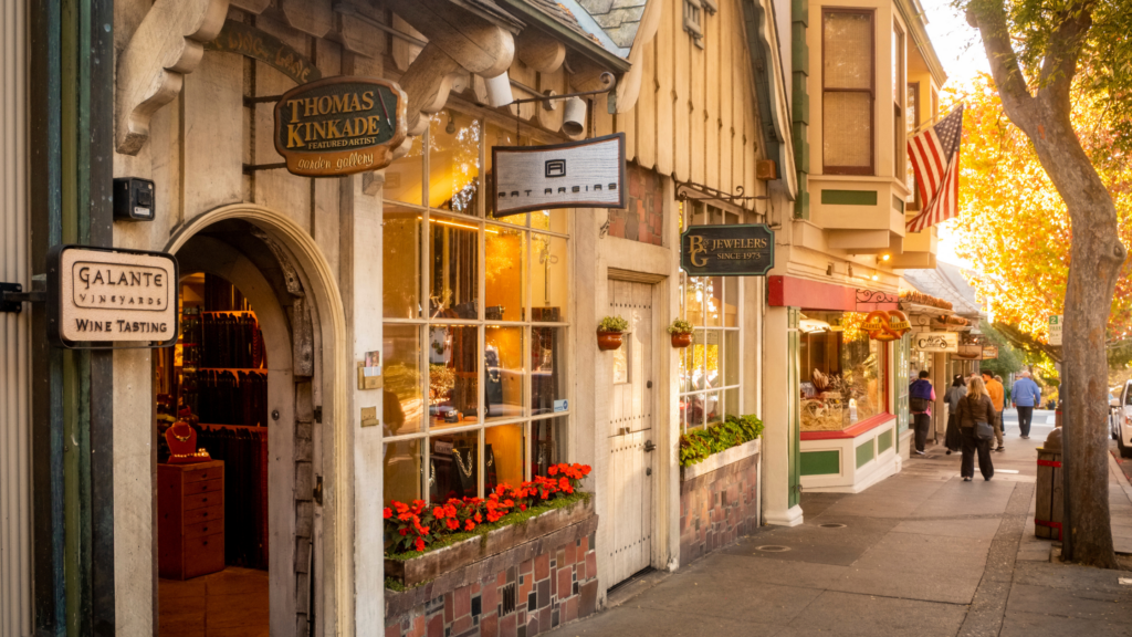
Continue through to Carmel-by-the-Sea, a charming coastal village.
Suggested Stop in Carmel
- Walk along Carmel Beach
- Explore the small downtown with galleries and cafes
- Stop for coffee or lunch before continuing
From Carmel, rejoin Highway 1 southbound and continue toward Big Sur.
Day 3: Monterey to Big Sur
Distance: ~30–40 miles
Drive time: ~2–3 hours
This is one of the most scenic parts of the entire trip, with rugged cliffs, towering redwoods, and pristine beaches. While the distance is short, you will want to allow plenty of time for stops.
Leave Monterey or Carmel after a relaxed breakfast and begin your drive south.
Must-See Stops Along the Way
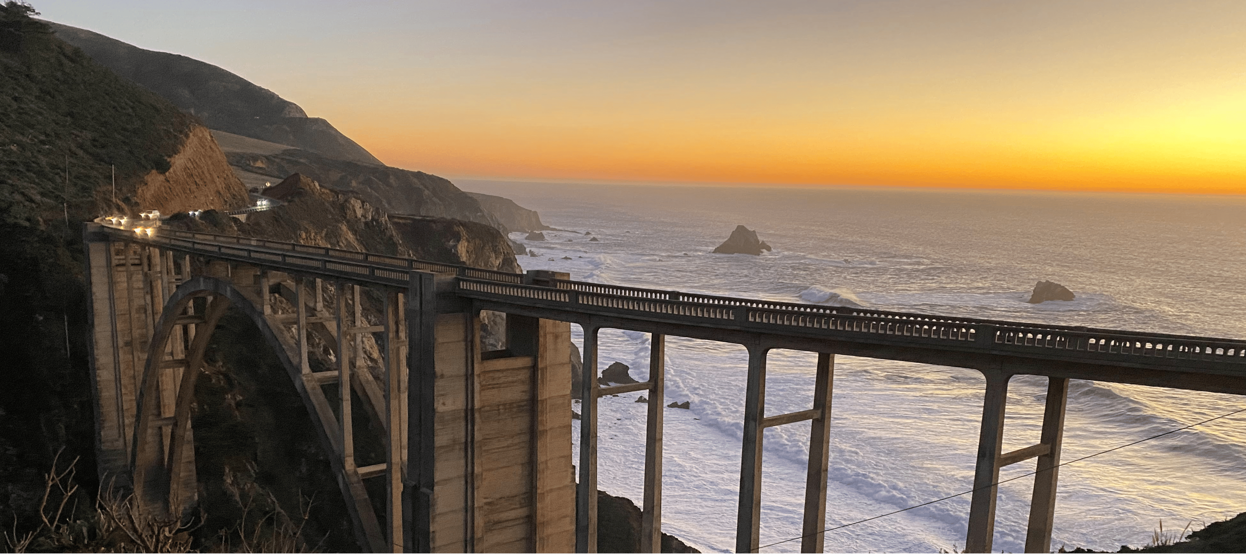
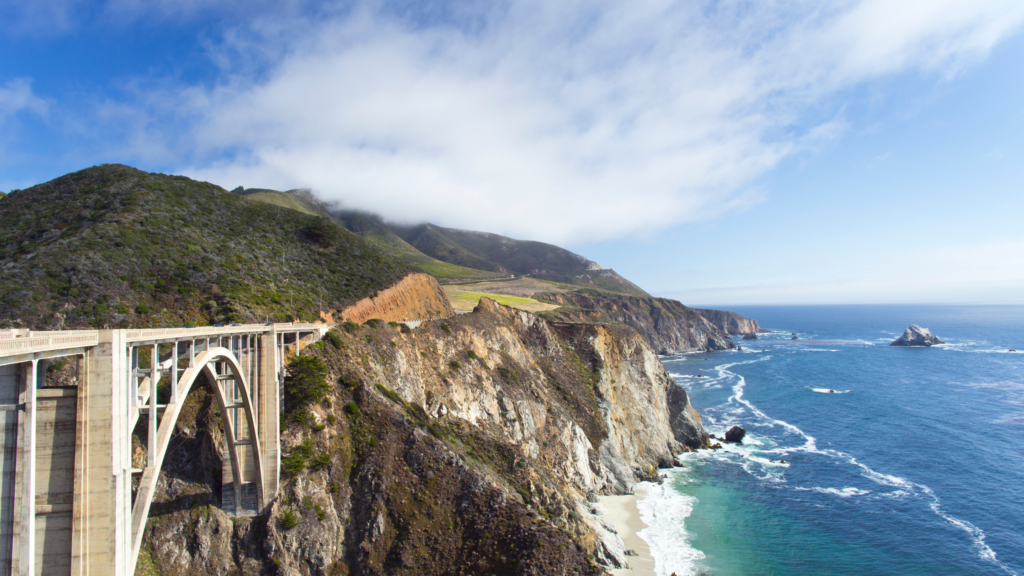
- Bixby Bridge
- Rocky Creek Bridge
- Point Lobos State Natural Reserve
- Pfeiffer Big Sur State Park
- McWay Falls
The road winds along cliffs with constant ocean views. It is one of the most photographed stretches of Highway 1 for good reason.
Optional Stops and Detours
- Garrapata State Park
- Scenic pull-offs along the highway
Plan to arrive in Big Sur in the late afternoon and enjoy a quiet evening surrounded by nature.
Day 4: Big Sur to San Simeon
Distance: ~90 miles
Drive time: ~3–4 hours
Take your time this morning. Big Sur is best experienced slowly, whether that means enjoying coffee with a view or taking a short walk through the redwoods.
As you continue south, the landscape opens up into long stretches of coastline.
Stops Along the Way
- Ragged Point for panoramic views
- Coastal viewpoints along the highway
Arrive in San Simeon in the afternoon.
Things to Do in San Simeon
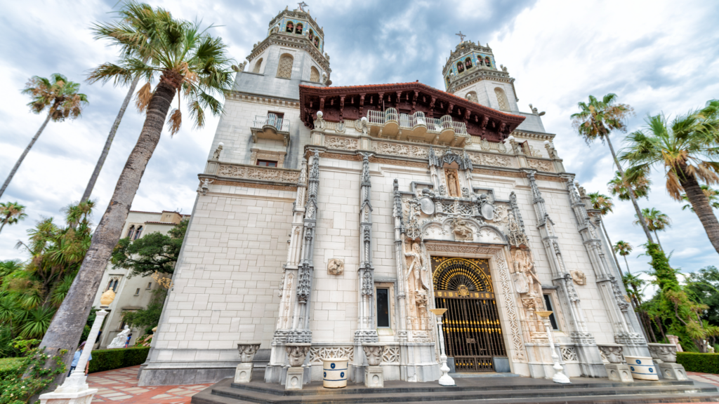
- Tour Hearst Castle
- Visit the Elephant Seal Rookery
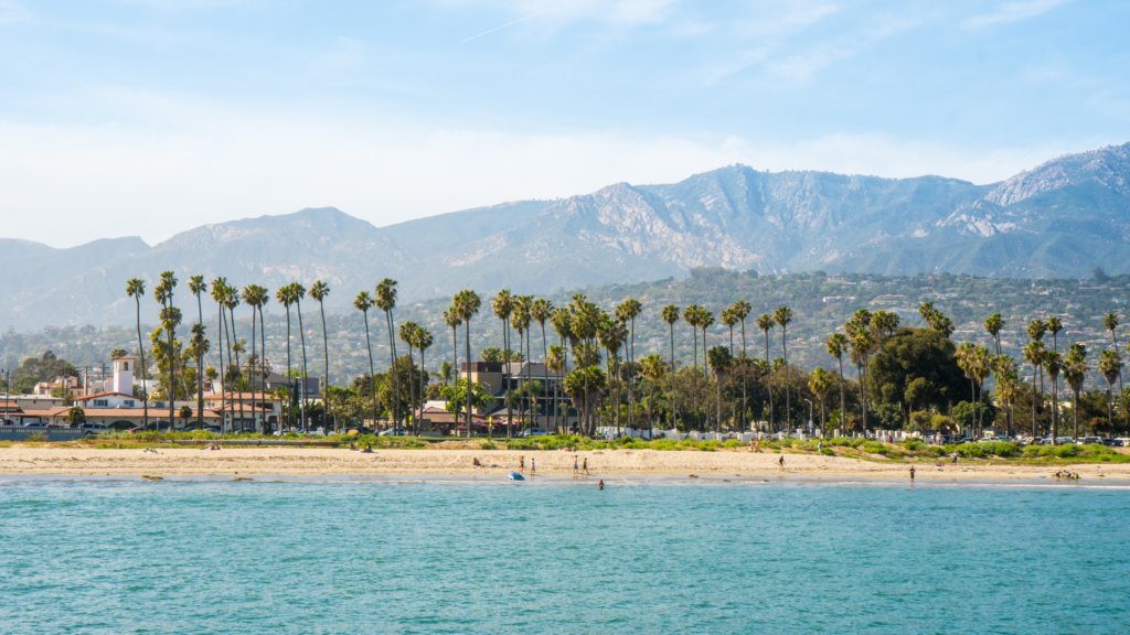
Day 5: San Simeon to Santa Barbara
Distance: ~140 miles
Drive time: ~3–4 hours
Today’s drive introduces a mix of coastal and inland scenery.
Stop in San Luis Obispo for lunch. The downtown area is lively and easy to explore, and the historic mission is worth a quick visit.
Continue to Pismo Beach, where you can relax by the ocean or take a walk along the pier.
Arrive in Santa Barbara in the late afternoon.
Things to Do in Santa Barbara
- Walk along the waterfront or Stearns Wharf
- Explore Spanish-style architecture
- Enjoy dinner at a local restaurant
Optional Detours
Avila Beach for a quieter stop
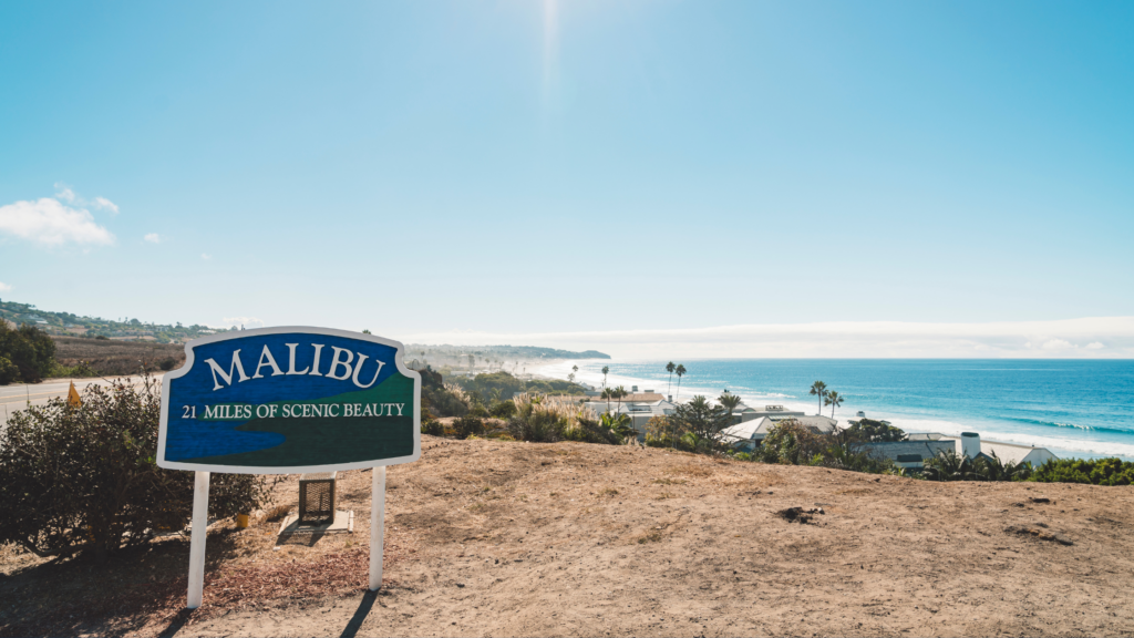
Day 6: Santa Barbara to Malibu
Distance: ~90 miles
Drive time: ~2–3 hours
Enjoy a relaxed morning in Santa Barbara before continuing south. This is a great place to linger a bit, whether that means grabbing breakfast near the waterfront or taking a short walk along the beach before you leave.
As you head out, the scenery begins to shift from the rugged coastline of earlier days to a more open, sun-filled stretch of Southern California. The drive through Ventura offers long coastal views, with the ocean often just steps from the road.
Arrive in Malibu in the afternoon with time to explore.
Things to Do in Malibu
- Visit Point Dume for sweeping coastal views
- Spend time at the beach
- Walk Malibu Pier and stay for dinner
Optional Stops
- El Matador Beach
- Zuma Beach
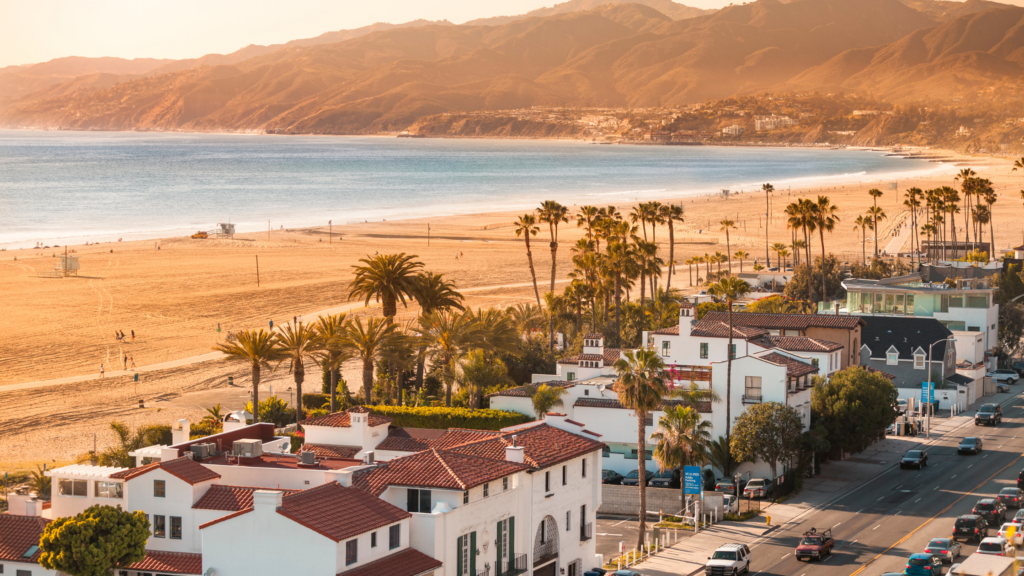
Day 7: Malibu to Los Angeles
Distance: ~30 miles
Drive time: ~1–2 hours
Your final day is short, so take your time heading into Los Angeles. Follow the coastline and make a couple of classic stops along the way.
As you leave Malibu, the drive gradually becomes more urban, but the ocean remains close by.
Stops Along the Way
- Santa Monica Pier
- Venice Beach
Arrive in Los Angeles and take time to explore the city’s neighborhoods, landmarks, and cultural attractions.
Pacific Coast Highway Planning Tips
- Start early to avoid traffic and coastal fog
- Download offline maps for areas with limited service
- Book accommodations in advance during peak seasons
- Check road conditions before your trip
Frequently Asked Questions About a PCH Road Trip
How many days do you need to drive the Pacific Coast Highway?
3 to 5 days is possible, but 7 days allows for a more relaxed experience with time to explore.
How long is the Pacific Coast Highway from San Francisco to Los Angeles?
The route is approximately 450 to 500 miles depending on stops and detours.
Is the Pacific Coast Highway suitable for RVs?
Yes, but drivers should use caution in Big Sur due to narrow and winding roads.
What’s the best time of year to drive the Pacific Coast Highway?
Spring and fall offer the best balance of weather and crowd levels.
Where does the Pacific Coast Highway actually start and end?
The Pacific Coast Highway (Highway 1) runs along much of California’s coastline. While it technically stretches from Dana Point in Southern California to Leggett in Northern California, the most popular section for road trips is between San Francisco and Los Angeles.
Is traffic bad on the PCH?
Traffic can vary depending on location and time of year. Popular areas like Los Angeles, Santa Monica, and parts of Big Sur can get busy, especially in summer and on weekends. Planning early starts and avoiding peak travel times can help make the drive more enjoyable.
Driving the Pacific Coast Highway is not just about reaching a destination. It is about everything you experience along the way. From coastal cliffs to small towns to quiet beaches, this itinerary gives you the time and flexibility to fully enjoy one of the most iconic road trips in the world.